 English

Blog

Drone Mapping & Surveying Software
Explore the best drone mapping and surveying software for UAV photogrammetry, 3D modeling, GIS analysis,...
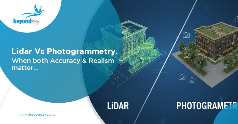
LiDAR vs Photogrammetry: Differences & Use Cases in 3D Mapping...
Explore LiDAR and photogrammetry technologies, their accuracy, cost, speed, and real-world applications...
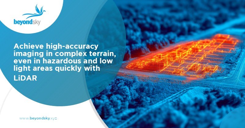
LiDAR Sensor in Drone Technology
Explore how LiDAR sensors in drone technology enable high-precision mapping, surveying, inspection,...
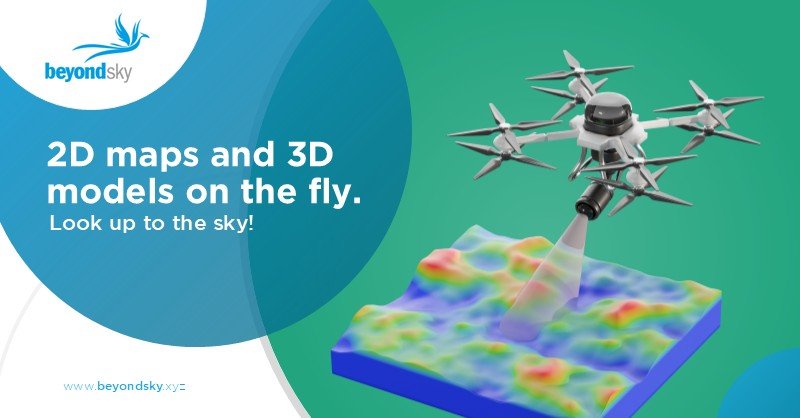
Drone Mapping: A Practical Guide to UAV Surveying and Applications
Learn how drone mapping works, including UAV surveying workflows, required sensors, accuracy methods,...

Drone Fleet Management Software: Streamlining UAV Operations...
Discover how advanced drone fleet management software optimizes UAV missions, maintenance, compliance,...

Drone and UAV Services: The Role of UTM Platforms in the...
Discover how UTM platforms are shaping the future of drone and UAV services by enabling safe, scalable,...

Drone Geospatial Data Sharing: The Benefits, Challenges,...
Discover how drones enable efficient geospatial data sharing, its key benefits, major challenges, and...
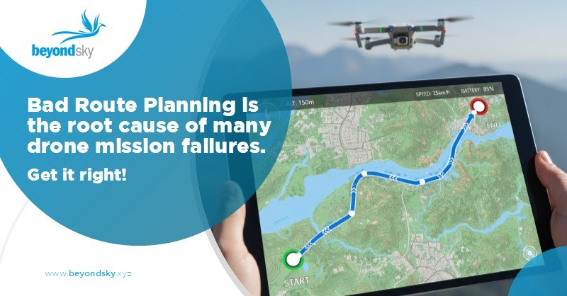
Drone Route Planning: A Complete Guide for Safe and Efficient...
Learn how to plan safe, compliant, and efficient drone routes using advanced mapping, GPS, and AI tools....