 English

Blog

Drone Data Processing & Analytics: Turning UAV Data into...
Learn how drone data processing and analytics convert UAV imagery into actionable insights for surveying,...

Drone Software in Modern UAV Operations
Explore how drone software powers modern UAV operations—from flight planning and automation to data...

Drone Compliance & Safety Tools for Commercial UAV Operations
Drone compliance and safety tools help operators manage airspace, risk assessments, flight logs, and...

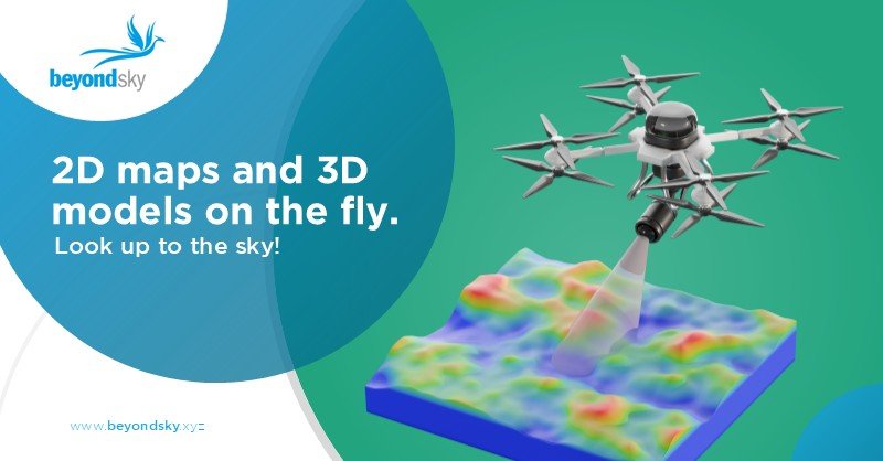
Drone Mapping & Surveying Software
Explore the best drone mapping and surveying software for UAV photogrammetry, 3D modeling, GIS analysis,...

LiDAR vs Photogrammetry: Differences & Use Cases in 3D Mapping...
Learn the difference between LiDAR and photogrammetry in 3D mapping, including accuracy levels, data...

LiDAR Sensor in Drone Technology
Explore how LiDAR sensors in drone technology enable high-precision mapping, surveying, inspection,...
Drone Mapping: A Practical Guide to UAV Surveying and Applications
Learn how drone mapping works, including UAV surveying workflows, required sensors, accuracy methods,...
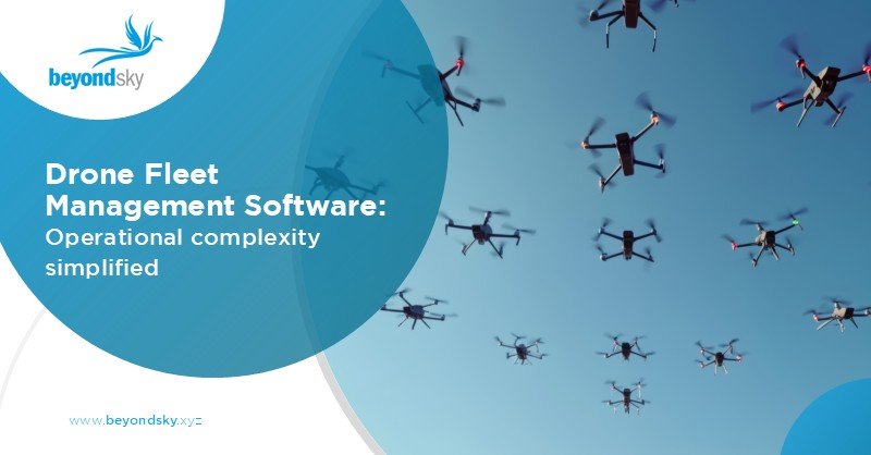
Drone Fleet Management Software: Streamlining UAV Operations...
Discover how advanced drone fleet management software optimizes UAV missions, maintenance, compliance,...