Drone Mapping: A Practical Guide to UAV Surveying and Applications

Published by:Beyond Sky
Drone performing a mapping survey over land with photogrammetry and LiDAR sensor

Traditional surveying takes time and effort. Teams on the ground measure, check, and repeat. Drone mapping changed that. 

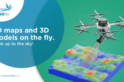
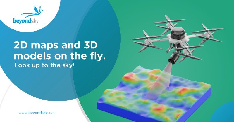
With UAVs (Unmanned Aerial Vehicles) fitted with cameras or LiDAR sensors, you can gather detailed 2D maps and 3D models in a few hours. Drones fly above the site, collect accurate spatial data, and return with a full picture. It costs less and removes much of the manual work.

Understanding Drone Mapping

Drone mapping turns aerial data into visual and measurable results. Two main methods make this possible: photogrammetry and LiDAR. 

Photogrammetry collects many overlapping images and uses software to rebuild the surface. It forms high-resolution maps and 3D models by comparing how objects shift between pictures. 

LiDAR (Light Detection and Ranging) sends laser pulses from the drone to the ground and measures how long it takes to return. Millions of data points form a precise terrain map, even under trees or uneven light. 

Both methods have strengths. Photogrammetry gives rich visuals, while LiDAR provides exact detail. Together they deliver clear and dependable data for mapping any terrain. 

Choosing the Right Drone 

  • No single drone suits every project. 
  • Multirotor are flexible and accurate. They hover in one place and work well in small or complex areas. 
  • Fixed-wing drones fly longer and cover larger zones. They suit mining, agriculture, and other wide sites but need to open ground for takeoff and landing. 
  • For survey accuracy, choose drones with RTK (Real-Time Kinematic) or PPK (Post-Processed Kinematic) GPS. These systems correct position data during or after flight, reducing errors within a few centimeters. Without them, measurements can shift enough to affect project results. 

Software for Drone Mapping

Flying the drone is the only step. Processing the data is where mapping happens. 

Good software converts raw photos or LiDAR scans into useful models and maps. Popular options include: 

  • Pix4Dmapper: High-precision desktop software that works with RTK and PPK. 
  • DroneDeploy: A cloud platform for fast processing and collaboration. 
  • Agisoft Metashape: Reliable for research and large datasets. 
  • DJI Terra: Made for DJI drones and short-term field projects. 
  • OpenDroneMap (ODM): Open-source software that allows custom workflows. 
  • FlytBase: Enterprise software with mapping and fleet management tools. 

Select based on your hardware, accuracy needs, and budget. For complex jobs, pair strong hardware with dependable software for consistent output. 

The Mapping Workflow

A drone mapping job follows a simple pattern.

  1. Plan the Mission: Define the survey area, set flight altitude, and keep image overlap near 80%. Automated flight plans help maintain coverage.
  2. Collect the Data: Fly during stable weather and maintain consistent light. The drone follows the planned route and records data.
  3. Process the Data: Load the results into software, then align them using Ground Control Points (GCPs) to improve accuracy.
  4. Review the Output: The software generates maps, elevation models, and 3D reconstructions. Check accuracy before using them for analysis or design. 

This workflow applies to most mapping tasks across industries. 

Where Drone Mapping Works Best

Agriculture 

Drone mapping helps farmers track crop health and water use. Multispectral sensors show where plants need attention and help reduce waste. 

Construction 

Site managers use drone surveys to monitor work, measure materials, and verify progress. Aerial data helps prevent costly mistakes. 

Environmental Studies 

Researchers map forests, rivers, and coastlines to track erosion or habitat change. Drones collect the same data points at intervals to show change over time. 

Mining 

Drone mapping replaces manual pit surveys. It provides safe, quick measurements of stockpiles and extraction areas. 

Infrastructure 

Utilities inspect power lines, roads, and bridges without closing sites or risking worker safety. High-resolution maps reveal wear or damage in structures. 

Advanced Mapping with Euradrones on BeyondSky.xyz

Euradrones, available through BeyondSkytakes mapping further. It combines precision sensors with intelligent processing. 

Key features include: 

  • Centimeter-level accuracy using LiDAR and GIS integration. 
  • AI-driven object detection for fast analysis. 
  • Data protection compliant with GDPR and eIDAS. 
  • Real-time team access through VisualConnect. 
  • Blockchain verification for secure, certified results. 

This system turns drone mapping into a complete data intelligence tool for industries that depend on trusted results. 

Field Tips 

  • Spread multiple Ground Control Points across the site. 
  • Fly in calm, clear weather for even lighting. 
  • Clean lenses and sensors before each flight. 
  • Verify measurements in the field before using results. 

These steps help ensure that every map you produce meets professional standards. 

The Road Ahead 

Drone mapping is evolving fast. Hardware is lighter and more precise, and software uses AI to process data in real time. Future UAVs will link directly to city systems, design software, and environmental models. 

The next stage will merge mapping, analytics, and automation into one workflow. Surveys will move from being an extra step to being part of how we plan, build, and manage infrastructure. 

Conclusion 

Drone mapping has become a standard part of modern surveying. It saves time, reduces risk, and gives results that rival traditional tools. With the right equipment and workflow, anyone from farmers to engineers can access high-quality spatial data. 

FAQs

  1. What is Photogrammetry?
    Photogrammetry is a technique where overlapping images taken by a drone are processed to create detailed 3D models and maps.
  2. What does LiDAR mean?
    LiDAR (Light Detection and Ranging) uses laser pulses to measure distances, creating highlyaccurate terrain models, even under tree cover or low light. 
  3. What are Ground Control Points (GCPs)?
    GCPs aremarked locations on the ground with known coordinates, used to align drone maps accurately to real-world positions. 
  4. What is RTK in drone mapping?
    RTK (Real-Time Kinematic) is a GPS technology providing centimeter-level location accuracy by applying real-time corrections during flight.
  5. How does PPK differ from RTK?
    PPK (Post-Processed Kinematic) collects raw GPS data during flight and applies corrections after landing, useful where real-time communication is limited.
  6. What is anOrthomosaicmap? 
    An orthomosaic is a composite aerial image that has been geometrically corrected to create a consistent, high-resolution map without distortions. 
  7. What are Point Clouds indrone mapping?
    Point clouds are dense collections of 3D data points generated from photogrammetry or LiDAR, representing surfaces and structures in detail. 


Was this article helpful?