- Subscription Plans
- Favorite
- Help
-
 English
-
English


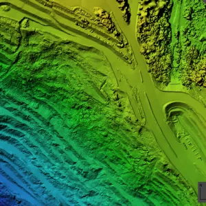


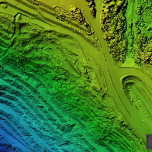
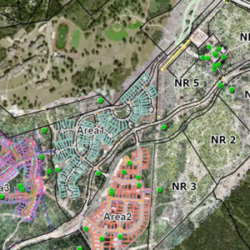

| Geospatial Precision | Centimeter-level accuracy, LiDAR scanning, GIS integration. |
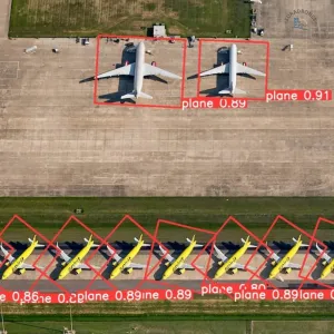
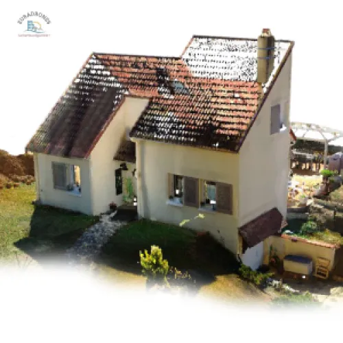
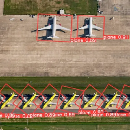
| AI-Powered Analysis | Object detection, anomaly prediction, automated reporting. |
| Data Compliance | GDPR and eIDAS compliant data handling and storage. |
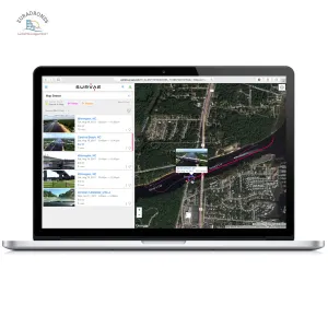
| Real-Time Collaboration | VisualConnect platform, remote viewing, secure video conferencing. |
| Blockchain Data Certification | SHA-256 encryption, immutable records, 24/7 verification. |
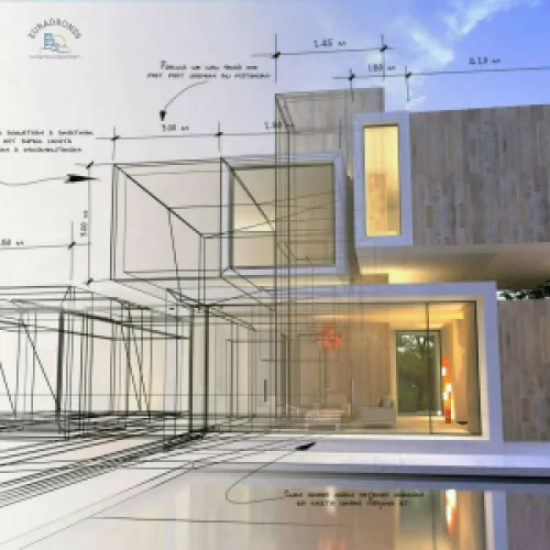
Euradrones offers a comprehensive suite of drone services, including advanced image processing, detailed 3D modeling, robust blockchain certification, and precise geospatial analysis. We also provide GNSS network solutions, AI-powered image analysis, and real-time data diffusion.
Euradrones Where Aerial Intelligence Meets Unquestionable Integrity.
In a world drowning in data, Euradrones delivers clarity, certitude, and strategic advantage.
Imagine, data that not only illuminates your projects but also fortifies your decisions. Euradrones transforms raw aerial data into a strategic asset, secured by blockchain and sharpened by AI.
The Challenge
Today’s industries demand more than just data—they require irrefutable proof. From construction sites to legal proceedings, the stakes are high, and the need for verifiable information is paramount.
Our Solution
Euradrones rises to this challenge. We are the architects of aerial intelligence, weaving together cutting-edge technology and unwavering commitment to integrity. Our platform doesn't just process data; it certifies its authenticity, ensuring every measurement, model, and analysis is beyond reproach.
The Euradrones Advantage
We empower you to move forward with confidence, knowing your data is not just accurate but also legally robust. We remove the ambiguity, eliminate the risk, and amplify your strategic vision.
Highlighting Impact, Not Just Features
We understand that different professionals face unique challenges. That's why Euradrones tailors its advanced aerial data solutions to directly empower your specific field. Whether you're designing the future, defending a case, leading an industry, or serving the public, we provide the precise, secure, and actionable data you need to excel.
What are the Services We Provide:
Euradrones offers a comprehensive suite of drone services, including advanced image processing, detailed 3D modeling, robust blockchain certification, and precise geospatial analysis. We also provide GNSS network solutions, AI-powered image analysis, and real-time data diffusion.
List of Services with Introductions, Details, and Target Sectors:
Ready to Transform Your Data? Let's discuss how Euradrones can elevate your operations.
Request a Quote to book a consultation with us and discover the power of certified aerial intelligence.
Join the future of data integrity !!!
EURADRONES
Software
Certificaiton
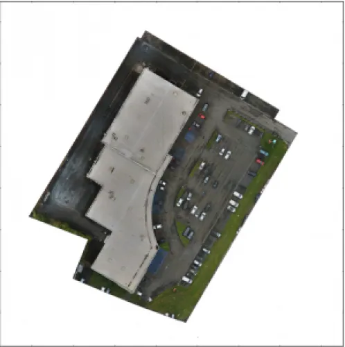
Aerial Photography, Archeology & Monuments, Construction & Real Estate, Insurance, Surveillance & Mapping
France
France
CATD
Euradrones est une société de collecte, traitement, analyse et certification d'images aériennes. Nous développons en interne un outil de certification d'images aériennes (drone) utilisant un chiffrement robuste (SHA-256) pour fournir une preuve d'intégrité (en plus de la signature électronique avancée) et la Blockchain pour fournir une preuve de temporalité. Le portail client (web) permet de vérifier l'intégrité / la provenance d'une image en quelques clics.

