LiDAR Drones - Made for High Precision Mapping and Surveying
Published by:Beyond Sky
 English
In an age where precise data and smart decision-making are indispensably inter-connected, LiDAR drone systems have emerged as the most preferred and the best choice. From environmental scientists to urban planners, LiDAR drones are changing the way people map, measure, and manage the world around them.
LiDAR drones offer speed, safety, and remarkable accuracy. Their ability to generate detailed 3D models of landscapes and structures makes them the best choice of drones for surveyors, engineers, farmers, and more. This article explores why LiDAR drone systems outperform other mapping tools, how the technology works, and how different industries are using them for high precision operations.
LiDAR stands for Light Detection and Ranging, a remote sensing method that uses laser pulses to measure distances. It is built around the concept of sending out rapid light signals and recording how long they take to bounce back. This time-of-flight calculation allows users to determine the exact position and elevation of objects and surfaces.
A typical LiDAR drone system operates in the following way:
Unlike optical systems that rely on cameras and light conditions, LiDAR works regardless of the time of day or visibility. It can penetrate foliage, detect subtle ground changes, and reveal structures that might be invisible through traditional imaging. This makes UAV drone 3D mapping tools especially effective in natural environments and complex terrains.
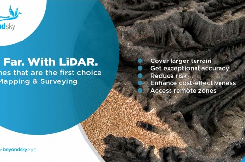
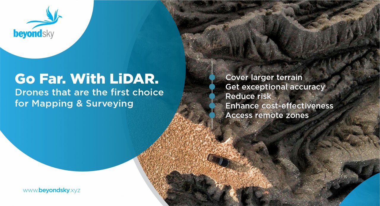
Drones equipped with LiDAR sensors bring a new level of efficiency and precision to land surveying and mapping projects. Here are the key reasons why professionals are opting for LiDAR drone systems:
LiDAR services that leverage UAV drone 3D models are becoming increasingly popular for delivering quick and reliable results. Whether used by governments or private firms, the technology offers benefits that traditional methods simply cannot match.
The introduction of drone-mounted LiDAR systems has caused a major shift in how geospatial data is collected and interpreted. What used to take teams of surveyors weeks or even months to achieve can now be accomplished in a matter of days or hours.
Here are the ways drone LiDAR is revolutionizing mapping:
This leap in technology is helping organizations reduce errors, cut costs, and achieve better outcomes in fields where spatial data plays a central role. LiDAR survey services supported by drones are creating smarter, more responsive systems for managing land and resources.
LiDAR (Light Detection and Ranging) uses laser pulses to measure distances and create a precise 3D map of the ground. It works in low light, can see through vegetation, and gives high accuracy even in rough terrain.
Photogrammetry uses overlapping aerial photographs to create 3D models or maps. It relies on visible light, needs clear weather, and works best in open, evenly lit areas.
|
Feature |
LiDAR |
Photogrammetry |
|
Works in low light? |
Yes |
No |
|
Penetrates vegetation? |
Yes |
No |
|
Output format |
3D Point Cloud (XYZ) |
2D Images, 3D Mesh |
|
Processing time |
Faster for large datasets |
Slower, image-heavy |
|
Accuracy in terrain |
High |
Variable |
|
Hardware cost |
Higher |
Lower |
|
Best for |
Forests, uneven terrain, and large areas |
Flat land, small structures |
|
Data volume |
Dense, structured |
Depends on image quality |
|
Ground control required |
Often optional with RTK |
Often needed |
|
Weather sensitivity |
Low |
High |
LiDAR drone systems help farmers work smarter, making farming more efficient and supportive of better decisions. By flying over fields, these drones create accurate maps showing land slopes and elevation. This helps farmers plan irrigation better and reduce soil erosion.
A LiDAR drone for surveying also lets farmers check plant health and growth patterns. With this data, they can take quick action to fix problems and save resources. UAV drone 3D models also help estimate how much crop they will produce.
In cities and large areas, LiDAR drone systems make mapping easier and more accurate. These drones can see through trees and cover, making them useful in places where old methods don’t work well. City planners use UAV drone 3D maps to design roads, buildings, and green spaces.
LiDAR survey services also help when planning for floods, landslides, or other risks. By showing the shape of the land in high detail, these drones help experts understand what changes need to be made and how to make smart choices.
Construction teams use LiDAR drones to study the land before building starts. A LiDAR drone for surveying shows every bump, slope, and dip in the ground. This helps teams make better plans and avoid mistakes. As the construction progresses, UAV drone 3D data can help track progress and check if everything is going as expected.
LiDAR survey services also help with safety by checking roads, bridges, and other structures without sending workers to dangerous areas. This means fewer delays and stronger results.
Mining and energy companies often work in tough places. LiDAR drone systems help by making detailed maps of mines and sites. These maps show how the land changes after digging or drilling.
LiDAR survey services are also used to check power lines and pipelines for problems. UAV drone 3D models help plan and measure the resources that are taken from the ground. The use of drones makes these jobs safer and faster without needing teams to go into risky areas.
Planning roads, railways, and bridges takes a lot of good data. That’s where LiDAR drone systems help most. Engineers use UAV drone 3D scans to study the land and design routes that work best.
A LiDAR drone for surveying makes sure the land is ready before construction starts. Airports also use these drones to plan new runways and terminals. LiDAR survey services give fast and accurate information, helping teams avoid mistakes and save time during big projects.
LiDAR drone systems are also used in nature studies. They scan forests, wetlands, and shorelines without harming wildlife. This makes it easier for scientists to study how landscapes change over time.
LiDAR survey services help track things like glacier melting, flooding, or tree growth. UAV drone 3D models give a full picture of the environment, helping people protect nature and plan better for the future. This is important for research and for responding to climate changes.
BeyondSky is the leading drone marketplace for advanced mapping tools. They offer top LiDAR drone systems, including UAV drone 3D LiDAR, built for precision and durability. Their range supports LiDAR survey services, aerial mapping, and specialized LiDAR drones for surveying.
BeyondSky works with trusted suppliers, provides verified documentation, and offers expert guidance. Whether you need a drone for environmental research, construction, or infrastructure, BeyondSky delivers high-quality solutions that professionals trust.
LiDAR drone systems represent a major advancement in how we measure and understand our world. Their blend of speed, accuracy, and flexibility makes them the best model for mapping and surveying across a wide range of applications.
From agriculture to construction, and from environmental science to urban planning, these drones offer a smart, modern alternative to manual fieldwork. By capturing detailed 3D information, they provide users with the insights needed to make better, faster decisions.
Whether you are managing land, launching an infrastructure project, or offering LiDAR survey services, using a LiDAR drone for surveying may be the smartest investment you can make. With this technology continuing to improve, the possibilities for smarter mapping and data collection are only expanding.
Photo by Mengliu Di