Drone Geospatial Data Sharing: The Benefits, Challenges, and Smart Solutions
Published by:Beyond Sky
 English
Drones have already changed how industries collect and understand data. They capture detailed views of the world that were once difficult or expensive to obtain. But capturing data is only the first step. The real impact comes when that data can be shared, analyzed, and used across teams. Whether you are managing infrastructure, planning cities, or studying ecosystems, success depends on how easily people can access and collaborate on spatial information.
Imagine this. A project manager in New York opens a live map to check drone data from a wind farm in Texas. At the same time, an environmental scientist in London studies the same dataset to assess habitat health. This is not a glimpse into the future. It is what drone geospatial data sharing makes possible today. Spatial intelligence now flows freely across teams, locations, and organizations.
Drone geospatial data sharing is the process of collecting spatial data with drones, turning it into useful information, and then distributing it to people or systems that need it. It connects aerial intelligence with decision-makers, allowing everyone to see the same spatial reality.
In the past, drone workflows often lived in silos. One group captured the data, another processed it, and a third analyzed it. Modern sharing platforms change that. They connect drone mapping software directly with GIS mapping tools so everyone works from the same version of the truth. Engineers, planners, analysts, and stakeholders no longer wait for updates. They view the same data in real time.
The best sharing systems do not replace your tools. They connect with them. By linking drone data into GIS mapping, CAD, or project management platforms, they enhance existing workflows. This makes collaboration easier and ensures that insights from drones become part of larger business processes.
Behind every effective drone data sharing system is a group of technologies working quietly in the background. These systems collect, process, and distribute spatial intelligence efficiently and securely.
When organizations share drone data effectively, they gain more than efficiency. They build smarter, faster, and more resilient workflows.
The value of shared drone data is visible across many sectors, such as these:
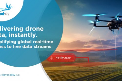
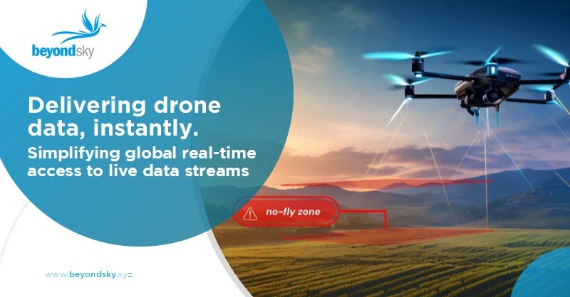
Drone geospatial data sharing turns isolated aerial insights into collective intelligence, helping teams work faster, plan smarter, and make decisions grounded in real-world context.
Geo-Awareness by Stratomaps gives drone operators real-time updates on ground hazards, airspace restrictions, and altitude limits, ensuring every flight is safe and compliant.
Accessible via a REST API, it works during mission planning and live flight execution. Users can search by location, radius, or corridor and instantly receive precise data on restricted areas and flight authorizations.
Designed for U-space providers, UTM systems, and drone developers, it integrates easily with existing flight management tools to enhance situational awareness and operational safety. By combining air and ground data, Stratomaps helps operators plan smarter routes and reduce risk during UAV missions.
Explore Geo-Awareness on BeyondSky and make every drone flight safer, smarter, and more efficient.
It's the process of collecting spatial data with drones, converting it into usable formats like maps and 3D models, then distributing it across teams and platforms for collaborative analysis.
It breaks down data silos, enables real-time collaboration, reduces redundant flights, improves data quality through expert review, and ensures everyone works from the same accurate dataset.
Key technologies include multi-sensor fusion, cloud processing, edge computing for real-time insights, AI-driven analytics, blockchain for data integrity, and advanced communication systems.
Common challenges include managing large data volumes, integrating different systems, addressing privacy concerns, maintaining data quality consistency, overcoming organizational resistance, and managing implementation costs.
Construction, agriculture, environmental conservation, emergency response, mining, infrastructure management, and urban planning rely heavily on collaborative spatial data workflows.
Solutions include adopting cloud-first infrastructure, using API-based integration, implementing strong security frameworks, setting up automated quality checks, and providing comprehensive team training.
Leading platforms include DroneDeploy, Pix4Dcloud, ArcGIS Drone2Map, Propeller Aero, Skyward, and WebODM, each offering different strengths for mapping, collaboration, and integration.
AI algorithms automatically classify terrain, detect changes, identify issues, and provide insights from large datasets, making shared data more actionable and reducing manual analysis time.