 English

Tag: intergeo
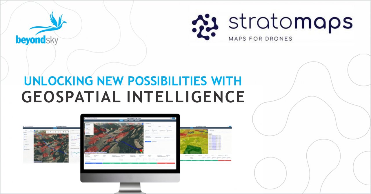
Geospatial Intelligence for Drone Mission Planning
Discover how Stratomaps uses geospatial intelligence to optimize drone mission planning. Explore data-driven...

INTERGEO 2025: AI, Geoinformation & Digital Twins in Frankfurt
Explore how AI, geoinformation, and digital twins are transforming geospatial technology at INTERGEO...

How GEO Information at Intergeo 2024 will revolutionise...
LiDAR Drones are transforming geospatial insights and drones for agriculture. Discover top drone manufacturers...

UAV industry holds its own in multiple crises
The UAV industry thrives using advanced drone test equipment. Drone manufacturers and uav drone agriculture...