Geospatial Intelligence for Drone Mission Planning
Published by:Beyond Sky
 English
Stratomaps is reshaping the future of drone operations, making long-range deliveries, surveillance, and infrastructure inspections faster, safer, and more efficient than ever. By integrating cutting-edge Geospatial Intelligence with real-time data, Stratomaps empowers businesses to unlock new possibilities in aerial operations.
Planning optimal routes for BVLOS deliveries, infrastructure inspections, mapping, or land surveying typically means juggling multiple open-source or commercial tools while hunting for reliable map data. This fragmented, manual workflow is:
Without Geospatial Intelligence, designing a single 20km compliant route can take up to three days, accounting for all the operational and regulatory parameters. In the context of a SORA (Specific Operational Risk Assessment), iterative feedback from Civil Aviation Authorities often requires route redesigns, restarting the time-consuming manual process. This makes it nearly impossible to scale operations efficiently or respond quickly to new opportunities.
In emergency response scenarios, drones are increasingly deployed as first responders alongside traditional firefighting units, urgent medical delivery teams (transporting defibrillators or blood supplies), police operations, and search and rescue missions. In all these situations, every second counts. There's no time for detailed manual planning; responders need software that instantly computes the optimal and safest route to the destination in their operation zone.
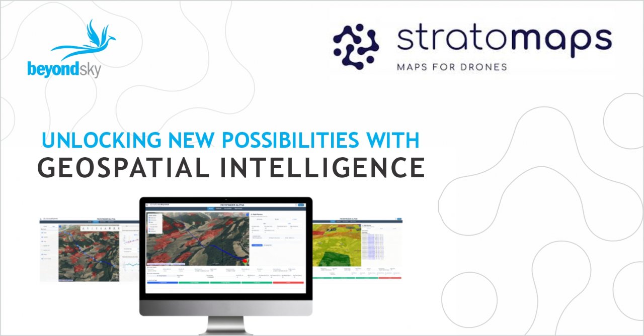
Stratomaps addresses the challenge of finding the most optimal 3D drone routes by continually refining advanced navigation algorithms and integrating high-quality static and dynamic data. The Geospatial Intelligence Platform tackles these challenges through two distinct products:
| PATHFINDER | NAVIGATE |
|---|---|
|
Comprehensive operational mission planning with built-in regulatory intelligence. PATHFINDER is designed for operators who need to integrate everything in a single map-centric interface and drastically reduce preparation time. With PATHFINDER, you can:
|
Instant deployment for emergency response services. NAVIGATE is specifically built for emergency response services, where every second counts and there’s no time for detailed manual planning. Destinations for BVLOS drone deployment are often unknown until the last moment. With NAVIGATE, you can:
|
Stratomaps' advanced navigation planning and real-time data integration help operators navigate obstacles efficiently. From adhering to height restrictions and reducing ground risks to providing the intelligence to meet air safety regulations, the solution empowers operators to plan operations quickly, accurately, and with regulatory compliance.
By leveraging Stratomaps' solutions, drone operators can overcome navigation planning challenges, enhance efficiency, and ensure the safety and reliability of their missions.
We are pleased to participate in Intergeo this year alongside our partner Beyond Sky. As the geospatial industry gathers for Intergeo, Stratomaps represents the cutting edge of drone route planning technology, where precision mapping meets regulatory intelligence to unlock the full potential of autonomous aerial operations.
Ready to see how it works for your organization? Meet us at Beyond Sky booth at INTERGEO 2025 Hall 12.1 and Stand 1C132.
Visit www.stratomaps.com and book a demo.
Stratomaps: Geospatial Intelligence for Drone Mission Planning