Photogrammetry Services: Benefits, Applications & Future Trends
Published by:Beyond Sky
 English
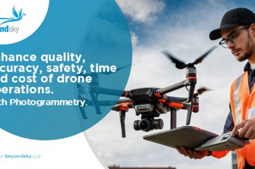
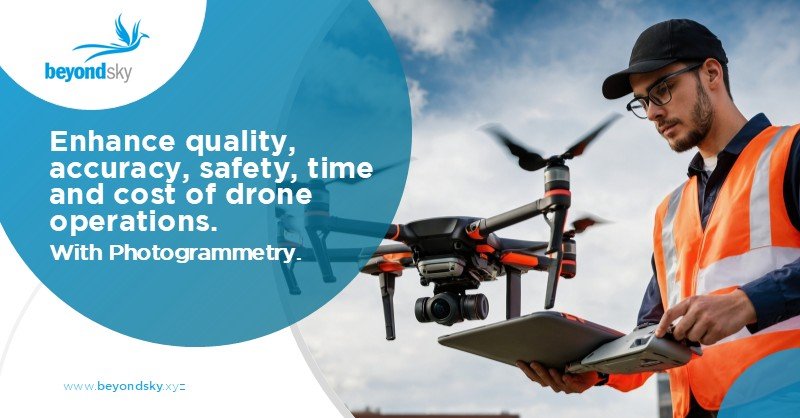
Photogrammetry might sound complicated, but really it's about turning a bunch of photos into accurate maps and 3D models. Think of it as using pictures to recreate the real world digitally.
This process is now faster, safer, and more affordable than ever. If you're wondering what photogrammetry services can do or how drone photogrammetry works, you're in the right place. Let's break it down.
Modern drone photogrammetry uses:
At its heart, photogrammetry means capturing many overlapping photos from different angles and stitching them together into a precise 3D image.
These images could be orthomosaics, big, flat, detailed maps, or textured 3D models. Drones do this from above, capturing vast areas with high accuracy.
You might also hear about survey photogrammetry, which focuses more on detailed ground data. This method is crucial for construction, mining, agriculture, you name it.
It starts with flight planning. Drones fly in a grid pattern, snapping pictures with a good amount of overlap, usually 70 to 80 percent, to make sure every spot is covered from multiple angles.
The whole process used to take days or weeks, but now cloud computing finishes it in just a few hours.
Photogrammetry is a huge timesaver. One drone flight can replace multiple ground surveys and produce data with centimeter-level accuracy.
It improves safety by keeping humans out of risky areas like unstable rooftops during drone inspections.
Compared to LiDAR, photogrammetry is more cost-efficient and provides sharper images where lighting and texture are good.
It also lets you monitor changes over time, whether tracking construction progress or measuring erosion in a field.
You'll find photogrammetry used in more industries than you might expect.
Construction remains the fastest-growing use case.
Applications include:
Drone photogrammetry helps contractors avoid delays, verify subcontractor work, and maintain real-time project visibility.
Surveyors use photogrammetry to:
Drone-based workflows dramatically reduce time spent in the field while improving surveying precision.
Mining sites require frequent volumetric and terrain assessments.
Photogrammetry supports:
With frequent aerial surveys, mining companies make faster, data-driven decisions.
Photogrammetry enables precision agriculture practices:
Farmers use photogrammetry to maximize crop yield and reduce resource waste.
Power companies use UAV imaging for:
Photogrammetry models help maintenance teams identify risks before failures occur.
When disaster strikes, teams need accurate terrain data quickly.
Photogrammetry enables:
The ability to rapidly reconstruct terrain makes photogrammetry essential for emergency response and environmental management.
Photogrammetry isn't perfect. Shiny surfaces and reflections confuse the software. Dense forests block ground views, making elevation models less precise. Thin elements like wires often don't show up.
Bad weather grounds drones, and data processing requires robust computers or cloud power. While LiDAR shines in heavy vegetation with direct distance measurement, photogrammetry wins on image detail and cost, especially in open, well-lit areas.
Good pilot skills and planning remain essential for success.
The photogrammetry landscape is evolving rapidly. Here are the trends shaping its future.
AI accelerates image alignment, improves depth reconstruction, and automates feature extraction.
Edge computing & onboard processing will allow:
This is especially useful in emergency response and rapid infrastructure mapping.
LiDAR provides unmatched structure data. Photogrammetry contributes rich visual textures.
Together:
This hybrid approach is becoming the new industry standard.
With UTM systems and advanced autonomy:
This transforms agriculture, city planning, and utilities.
Photogrammetry will increasingly rely on cloud platforms for:
This reduces hardware requirements for survey teams.
BeyondSky connects you to the best in drone photogrammetry. Its spotlight product, DroneNaksha AeroMegh, offers 1.5 cm ground resolution orthomosaics through a pay-per-use SaaS model. This cloud-powered platform speeds image processing with AI features for deeper analytics. Along with flight planning tools, it handles surveys end to end.
If you want reliable drone GIS services and geospatial mapping tech, BeyondSky simplifies the search and purchase process.
In conclusion, photogrammetry services turn drone shots into detailed, accurate maps and 3D models. They save time, reduce risks, and offer high-quality data for industries from farming to construction. While challenges exist, advances in AI, cloud computing, and sensor technology promise an exciting future. Platforms like BeyondSky help you tap into top photogrammetry solutions easily.
Photogrammetry uses overlapping photos, often by drones, to create accurate 3D maps and models for surveying, construction, agriculture, and more.
It saves time, lowers costs, improves safety, and offers centimeter-level accuracy with sharp imagery ideal for monitoring changes over time.
Drones fly grid patterns capturing 70-80% overlapping geotagged images, which software processes into detailed 3D point clouds and orthomosaics quickly using cloud computing.
Construction, mining, agriculture, utilities, archaeology, and environmental monitoring all leverage photogrammetry for mapping, volume measurement, inspections, and crop health assessment.
Reflections, dense vegetation, thin structures, and bad weather can degrade results; LiDAR may perform better in dense foliage but costs more.
AI speeds data processing, real-time cloud computing enables faster decisions, RTK drones increase accuracy, and sensor fusion adds richer data layers.
BeyondSky offers verified drone photogrammetry solutions like DroneNaksha AeroMegh, providing high-resolution orthomosaics, AI analytics, flight planning, and end-to-end survey management.