RTK vs PPK Drone Kits: Workflow and Best Practices
Published by:Beyond Sky
 English
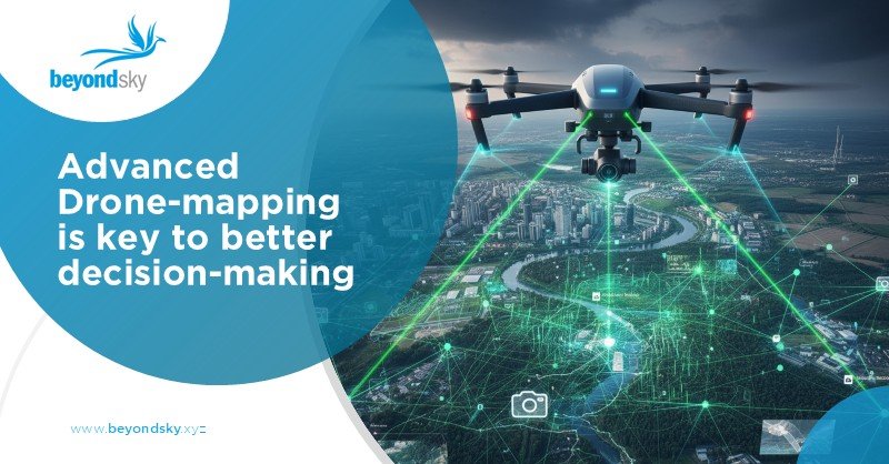
Understanding the difference between RTK and PPK drone kits is essential for anyone serious about precision drone mapping. Both technologies enhance GPS accuracy, but they do so differently.
This blog breaks down what RTK vs PPK are, why they matter, what components they include, how workflows differ, and offers some advanced tips plus future trends.
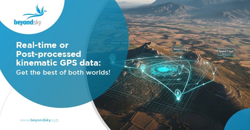
RTK, or Real-Time Kinematic, improves GPS accuracy by using a fixed base station that sends correction data directly to the moving drone in real time. This instant data transmission lets the drone’s GPS position refine down to centimeter-level accuracy instantly during flight.
PPK means Post-Processed Kinematic. Instead of relying on real-time corrections, PPK stores raw GPS data onboard.
After the drone lands, this data is processed back at base together with base station information to achieve precise geolocation. It can be more flexible in environments where constant communication with a base station is difficult.
Both RTK and PPK kits ensure highly accurate GPS positioning critical for drone mapping, surveying, and inspection. These systems eliminate errors common in standard GPS, allowing drones to create detailed orthomosaics, topographic maps, and 3D models.
RTK is ideal when continuous, precise positioning is essential during flight, such as in construction site monitoring or agriculture operations. PPK suits missions where real-time connectivity is unstable or impossible, for example, in remote areas or dense urban canyons.
An RTK or PPK kit generally includes:
Some kits also include software for planning flights, processing data, and delivering mapping outputs.
Before flight, the base station is set up. During flight, it streams corrections live to the drone. The drone updates GPS continuously with these corrections allowing immediate accuracy. Data captured is nearly survey grade, often usable without much post-processing.
The base station likewise records its GPS signal continuously. The drone logs raw GPS data while flying without needing live corrections. Post-flight, software compares base and drone data, adjusting the drone’s recorded positions. This method compensates for signal loss and works well in challenging environments.
Some drone operations combine RTK and PPK for extra certainty, called hybrid approaches, using RTK during flight and PPK to refine data afterward. This approach achieves very high accuracy for demanding projects.
Going forward, integration with emerging drone UTM (Unmanned Traffic Management) and improvements in GNSS satellite systems will further boost RTK/PPK effectiveness. AI and automated processing will cut time and increase mapping quality.
SMC 2000 UAV Kit Delivers centimeter-level precision with reliable RTK accuracy. It offers fast RTK fixes within 10 to 60 seconds, supports LTE connectivity, and works across temperature extremes.
Synerex, the company behind the kit, pioneers solutions in drone geolocation for the 4th Industrial Revolution, focusing on applications in agriculture and autonomous systems.
RTK Premium is an advanced GNSS correction solution designed to deliver real-time, centimeter-level positioning for high-accuracy perations.
Powered by a global network of 8,000+ reference stations distributed across multiple continents.
Offers broad coverage and seamless connectivity for international operations.
Compatible with all major satellite constellations, including GPS, GLONASS, Galileo, and BeiDou.
Delivers sub-1.5 cm positional accuracy to support demanding workflows.
Ensures exceptional system reliability with 99.98% uptime.
Explore RTK & PPK drone kits and high-precision GNSS systems on BeyondSky
Choosing between RTK vs PPK kits comes down to mission specifics. RTK suits operations needing real-time accuracy, while PPK works best in unreliable communication zones. Many professionals find best results by integrating both methods.
Understanding each technology’s strengths ensures you pick the right tool for dependable, survey-grade drone mapping. Consider available kits like SMC 2000 UAV Kit and RTK Premium for high-precision, reliable performance.