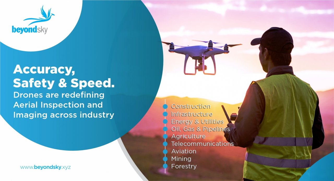
Specialized Drone services now offer powerful solutions for infrastructure inspection, asset monitoring, and high-quality visual capture. Whether it’s Aerial Photography and Videography, detailed Inspection, or accurate Mapping and Services, drones help streamline the operations and deliver precise results that are faster, safer, and more accurate.
Here’s a quick overview of what drone inspection services are, how they work, the technology behind them, and where they’re used; giving you a complete understanding of this powerful drone function that is enabling huge savings in terms of time, personnel and cost.
Drone Inspection & Aerial Imaging – what it is and what is missing
Drone inspections combine visual, thermal, and LiDAR-based imaging with precision flight control to create accurate records of asset conditions. While casual drone users may focus on creative footage, inspection-grade aerial imaging demands much more:
- Pre-flight safety analysis to identify hazards such as electromagnetic interference, GPS signal loss zones, or restricted airspace.
- Detailed mission planning in mapping software to ensure full coverage and consistent image overlap for 3D reconstruction.
- Data integrity checks during flight to avoid missing critical angles or lighting conditions.
In Aerial Photography and Videography, the emphasis is often on visual appeal, but for technical Inspection, Mapping and Services, image sharpness, pixel resolution (GSD), and correct geotagging are critical. A blurred image could mean missing a hairline crack that could lead to structural failure.
Professional drone operators are trained not just in piloting, but also in understanding asset-specific needs. For example:
- A bridge inspection team will know which joints, welds, and bearing plates to focus on.
- A solar farm survey will require infrared imaging to spot malfunctioning panels.
Types of Drones Used in the Inspection Process
Most common for asset inspections. Hover capability allows capturing multiple angles without repositioning. Examples: DJI Matrice 300 RTK for industrial work, DJI Mavic 3 Enterprise for smaller-scale jobs.
Capable of covering hundreds of hectares in a single flight, making them ideal for agriculture mapping, pipeline inspection, and large-scale surveying.
Offer fixed-wing endurance with multirotor hovering capabilities, useful for mixed terrain or offshore projects.
Indoor Inspection Drones
Collision-tolerant drones with protective cages for inspecting storage tanks, ship holds, or industrial plants without GPS.
Selecting the right platform depends on flight endurance, payload capacity, environmental conditions, and required sensor types.
Drone Inspection Services - advantages
- Enhanced Safety: Drones remove the need for inspectors to work at heights, inside confined areas, or near hazardous equipment. According to Unmanned Systems Technology, drones significantly improve safety by minimizing human presence in dangerous zones like wind turbines, power lines, or skyscraper facades.
- Speed and Cost Efficiency: Drone operations can be launched rapidly, finish data collection in minutes, and avoid expensive gear like cranes or cherry-pickers. This cuts both cost and downtime.
- High-Quality Data Collection: Equipped with high-res cameras, thermal modules, and LiDAR, drones gather detailed visuals and measurements, enhancing clarity and decision-making.
- Access to Hard-to-Reach Areas: From offshore rigs to high cell towers and mining sites, drones reach spaces humans cannot, offering critical Inspection capabilities.
- Versatility Across Sectors: Drone services adapt to many industries like construction, utilities, agriculture, and insurance for the purpose of mapping, monitoring, or inspections.
- Environmental and Operational Benefits: Drones are greener and less disruptive than traditional crews or vehicles. They reduce the environmental footprint while increasing data frequency and accuracy.
Drone Capabilities critical for effective Inspections
Flight & Navigation
- BVLOS (Beyond Visual Line of Sight)– Drones can fly far from the pilot without being in direct view. This is great for checking things like pipelines, railway lines, or large factories.
- Collision-Proof Design– Special frames and sensors protect the drone if it bumps into something. This makes them safe for use in small spaces like tanks, tunnels, or buildings.
- Smart Auto-Navigation– AI and obstacle sensors plan the best route, covering all inspection points with less risk of missing spots.
- Steady Hover & Position Hold– Keeps the drone still, even in wind or tight areas, for clearer and sharper images.
Imaging & Sensors
- High-Resolution Cameras – These cameras provide sharp, detailed colour images.
- Thermal Cameras – These special cameras can spot hot or cold areas that could mean energy loss, electrical issues, or hidden damage.
- LiDAR Mapping – Makes accurate 3D maps, even in low light or when plants block the view.
- Multispectral & Hyperspectral Cameras – Show details you can’t see with the eye, such as plant health or surface contamination.
- Ultrasonic (UT) Sensors – Measure thickness and find hidden damage inside materials without cutting them.
Payload & Customization
- Modular Mounts – The operator can quickly swap between cameras, LiDAR, or sensors in minutes.
- Heavy Lift – Some drones have the ability to carry bigger or heavier tools for special tasks.
- Tethered Power – Sometimes a cable is connected to the ground which lets the drone fly for hours without battery changes.
Data Capture & Processing
- Live Data Streaming – Photos, videos, and sensor data sent instantly to base or cloud.
- 3D Models & Digital Twins – Turn drone data into interactive 3D models to monitor over time. With digital twins, you can get complete access to the location scanned at your fingertips.
- Cloud Storage – This helps save and share inspection results securely with your whole team.
- Auto-Tagging – This technology organizes data by place, time, and type for easy searching.
- Advanced Analytics – Software automatically flags changes, damage, or patterns so decisions can be made faster.
Drone Inspection - Applications
- Construction and Infrastructure: Drone operators perform routine surveys, site logistics planning, and safety audits. Along with that, time-lapse mapping tracks site progress and documents as-built conditions for quality control. Due to this, the problems are generally identified early to avoid rework.
- Energy and Utilities: Drones inspect grids, substations, and solar farms, and thermal imaging detects faults or overheating equipment. Ultimately, the use of helicopters is reduced, cutting costs and improving safety.
- Oil, Gas, and Pipelines: Drones can also do the work of scanning pipelines, rigs, and refineries. Here, the inspections are done from safe locations, reducing risk and enabling faster repairs.
- Disaster Management: Drones have the ability to map disaster zones quickly. Thermal imaging locates hotspots or survivors, and the Data collected then supports rescue planning while keeping responders safe.
- Agriculture: Multispectral and RGB sensors monitor crop health, soil conditions, and irrigation patterns. Mapping helps farmers target problem areas, improve yields, and use fewer resources.
- Telecommunications: Drones inspect communication towers from base to top, capturing detailed structural images without the need for climbers. This makes inspections faster, safer, and less costly.
- Public Safety and Emergency Response: Drones support wildfire mapping, hazard checks, and victim location in low light. Aerial data guides rescue teams and reduces their exposure to dangerous conditions.
- Aviation Maintenance: Drones scan aircraft exteriors in minutes. High-resolution imagery detects dents, cracks, or other damage. Downtime is reduced and safety is improved.
- Smart City Survey: Drones map urban areas, showing building layouts, roads, and utilities. LiDAR produces 3D models that help with traffic planning, utility work, and urban growth.
- Road Inspection: Drones spot cracks, erosion, and surface wear. LiDAR creates 3D road models for repair planning. As a result, traffic disruption is minimized.
- Mining and Earthworks: Autonomous drones measure stockpile volumes and monitor terrain changes in active mining areas. These inspections keep workers out of hazardous zones while providing accurate data for safety and production planning.
- Forest and Wildlife Survey: Drones monitor vegetation health and track wildlife activity over large areas with ease. They also detect illegal logging or poaching, supporting conservation and sustainable land management efforts.
|
Application
|
Description
|
Key Benefits
|
Sensors Used
|
Data Outputs
|
Accuracy Level
|
|
Construction & Infrastructure
|
Tracks progress, compares plans vs actual work, audits safety, improves site logistics.
|
Early issue detection, less rework, on-time delivery.
|
RGB, LiDAR, thermal
|
Orthomosaics, 3D models, inspection reports
|
±1–3 cm
|
|
Energy & Utilities
|
Inspects grids and solar farms; thermal scans find faults without downtime.
|
Faster repairs, less helicopter use, stable supply.
|
Thermal, RGB, LiDAR
|
Defect maps, asset health reports
|
±2–5 cm
|
|
Oil, Gas & Pipelines
|
Detects corrosion, leaks, and wear onshore/offshore.
|
Safer checks, reduced risks, accurate planning.
|
Thermal, RGB, LiDAR
|
Corrosion maps, thermal overlays
|
±3–5 cm
|
|
Disaster Management
|
Rapid mapping of damage zones; thermal finds hotspots.
|
Faster rescue, safer planning, targeted relief.
|
Thermal, RGB, LiDAR
|
Damage maps, hotspot overlays
|
±5–10 cm
|
|
Agriculture
|
Monitors crops, soil, and irrigation with multispectral sensors.
|
Higher yield, reduced water/fertilizer use.
|
Multispectral, RGB
|
NDVI maps, crop health reports
|
±2–5 cm
|
|
Telecommunications
|
Inspects towers without climbing.
|
Safer work, faster planning, cost savings.
|
RGB, LiDAR
|
3D tower models, defect logs
|
±1–3 cm
|
|
Public Safety
|
Locates hazards/victims in emergencies.
|
Lower risk, faster response, better coordination.
|
Thermal, RGB
|
Victim maps, hazard overlays
|
±5–10 cm
|
|
Aviation Maintenance
|
Scans aircraft for cracks or dents.
|
Minutes instead of hours, less downtime.
|
RGB, AI tools
|
Defect reports
|
±1–2 cm
|
|
Smart City Survey
|
Maps urban layouts for planning.
|
Faster surveys, better designs.
|
RGB, LiDAR
|
3D city models, GIS maps
|
±1–5 cm
|
|
Road Inspection
|
Detects cracks and wear on roads.
|
Prevents major damage, reduces closures.
|
RGB, LiDAR
|
Road models, crack maps
|
±1–3 cm
|
|
Mine Survey
|
Measures stockpiles and pit layouts.
|
Safer, faster, more accurate tracking.
|
RGB, LiDAR
|
Volume reports, elevation models
|
±2–5 cm
|
|
Forest & Wildlife
|
Monitors vegetation and animals.
|
Supports conservation, detects illegal activity.
|
Multispectral, RGB
|
NDVI maps, wildlife data
|
±3–5 cm
|
Technical Challenges & Limitations to be kept in mind
Even the best drone services face operational constraints that must be addressed:
- Weather Conditions – High winds above 25–30 km/h can destabilize drones, while heavy rain can damage sensors. Thermal imaging is also affected by environmental temperature fluctuations.
- Battery Limitations – Typical inspection drones last 20–45 minutes on a charge; long-range fixed-wing drones may achieve 1–2 hours but with limited hover capability.
- Data Volume – Large LiDAR scans or high-resolution video can exceed several gigabytes per flight, requiring robust storage and fast processing systems.
- RF Interference – Operations near high-voltage lines or communication towers can disrupt drone GPS and control links.
- Regulatory Compliance – Restrictions on night flights, altitude limits, and no-fly zones can complicate scheduling.
Safety & Compliance
To overcome operational risks, modern inspection drones incorporate built-in safeguards.
- Geo-Fencing & No-Fly Zone Awareness – Prevents drones from entering restricted or unsafe areas.
- Failsafe Return-to-Home (RTH) – Automatically brings drones back if battery runs low or signal is lost.
- Compliance with Aviation Regulations – Ensures adherence to regional laws for safe, legal operation.
BeyondSky – a reliable choice to opt for drone services
Selecting the right drone services for your needs can be challenging. With options ranging from basic Aerial Photography and Videography to complex Inspection, Mapping and Services, understanding the right combination of drones, sensors, and workflow is critical.
BeyondSky specializes in matching clients with the ideal service setup. Whether you require a one-time asset inspection or ongoing monitoring with autonomous drones, BeyondSky’s registered service providers can guide you through:
- Selecting the right platform (multirotor, fixed-wing, or hybrid)
- Choosing the correct sensors for your application
- Navigating local aviation regulations
- Understanding data processing and reporting formats
By leveraging partnerships with leading equipment providers, including DJI drone service specialists, BeyondSky ensures you get reliable results, reduced costs, and safe operations from certified drone operators.


 English