How Drones are Revolutionizing Forest Fire Detection and Monitoring
Published by:Beyond Sky
 English
Traditional wildfire detection relied on watchtowers, satellites, and crewed aircraft, but each brought limitations.
Towers and lookouts only see a fraction of sprawling forests and may miss early signs of trouble. Satellites offer regional coverage, but cloud cover and infrequent imaging delay response. Crewed aircraft are expensive, can’t always fly in hazardous smoke, and put pilots at risk.
Drones fill these gaps. They can launch rapidly, fly low and slow over any terrain, and deliver real-time data to command centers. Today’s UAV fire detection platforms are equipped with thermal and multispectral sensors, AI-enhanced analytics, and autonomous flight, offering continuous, wide-area surveillance that complements and often outperforms older methods.
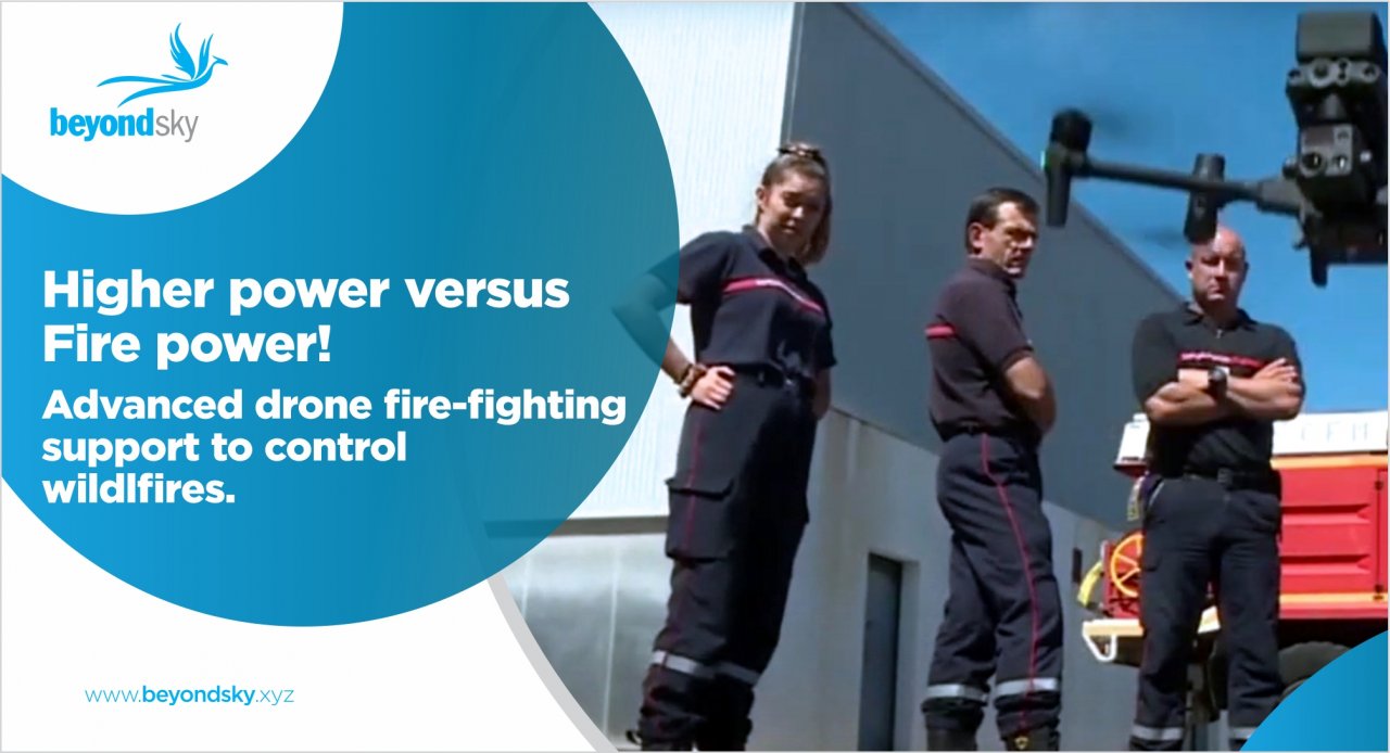
Drones have moved beyond experimental trials and are now central to many Drone Solutions for Wildfire Management programs worldwide. Here’s how they’re being used in the field:
The Fire Eagle, featured on BeyondSky and built by MENAPS, represents the state of the art in autonomous wildfire response. Designed with advanced AI and all-weather sensors, Fire Eagle delivers fast, round-the-clock detection and proactive alerts, setting a new standard for drone fire prevention solutions.
Fire Eagle’s onboard thermal sensors and cameras image the ground with precision, passing data through AI to flag ignition points or risky zones. Its brain syncs directly with a secure mission hub, where historic data and instant readings inform both predictions and live alerts. Swarm capabilities mean the system can “expand its watch” by deploying additional drones on the fly, covering the landscape even as threats evolve.
Drones are transforming wildfire management from the roots up. With UAV fire detection, instant situational data, and the predictive power of AI, we’re finally catching up with the challenge that wildfires pose. As proven in global case studies, when drones are in the sky, crews get better, faster information, fires are contained sooner, and communities are safer.
Drones offer rapid deployment, access hard-to-reach areas, and provide real-time thermal imaging and situational data. This enables faster fire detection and safer, more precise response compared to watchtowers, satellites, or crewed aircraft.
Drones use thermal cameras, multispectral sensors, and AI-powered analysis to spot heat anomalies and smoke, often detecting fires before flames are visible. GPS coordinates and live imaging are sent to emergency teams instantly.
Yes. Drones equipped with infrared and thermal sensors can observe through smoke and darkness, improving detection and monitoring during all conditions.
Multi-rotor and fixed-wing drones with payloads including thermal cameras, high-resolution video, and environmental sensors are common. Autonomous models can patrol wide regions without manual piloting.
Drones track fire perimeters, assist evacuation by scouting safe routes, inspect infrastructure, assess burn severity post-fire, and support mapping for insurance and restoration planning.
Yes, thermal drones detect heat sources even under dense canopies, outperforming visual patrols in identifying hidden hotspots.
Advanced UAVs equipped with AI analyze moisture levels, fuel buildup, wind, and climate data to model risk zones and suggest proactive fire management strategies.
Drones offer rapid response, increased safety for crews, more precise data, cost savings, and scalable autonomous coverage for both small forests and vast national parks.