 English

Blog

Drone Mapping & Surveying Software
Explore the best drone mapping and surveying software for UAV photogrammetry, 3D modeling, GIS analysis,...

Essential Drone Parts: A Comprehensive Guide to UAV Components
Learn about essential drone parts including frames, motors, ESCs, flight controllers, sensors, and batteries....
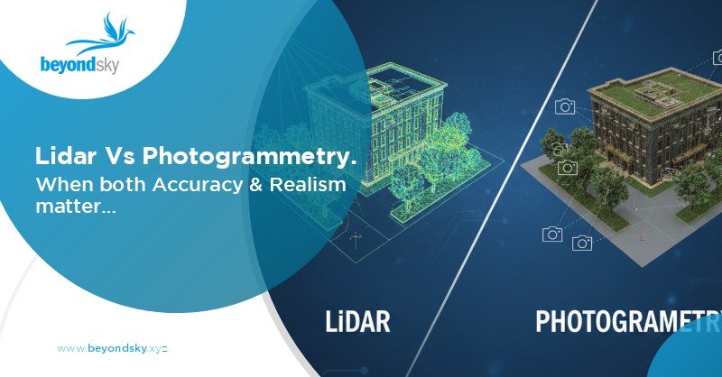
LiDAR vs Photogrammetry: Differences & Use Cases in 3D Mapping...
Explore LiDAR and photogrammetry technologies, their accuracy, cost, speed, and real-world applications...

Drone Buying Guide 2026: How to Choose the Right Drone
Complete drone buying guide to help you choose the right drone for photography, surveying, agriculture,...
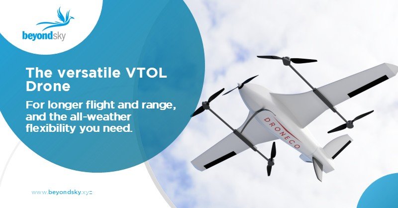
VTOL Drone: Everything You Need to Know
Discover everything about VTOL drones: how they work, key advantages, limitations, types (tail-sitter,...
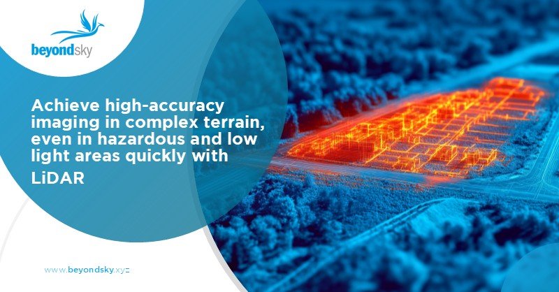
LiDAR Sensor in Drone Technology
Explore how LiDAR sensors in drone technology enable high-precision mapping, surveying, inspection,...
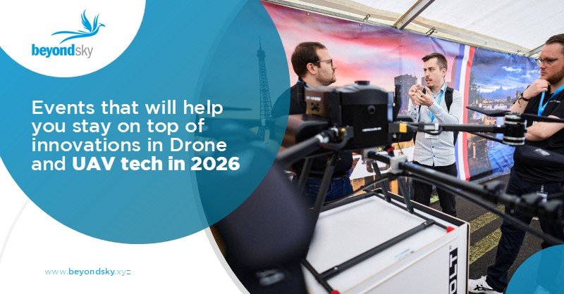
Global Drone Events - 2026
Discover the major list of global drone events in 2026, including expos, exhibitions, conferences, and...
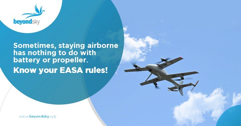
EASA Drone Regulations : Complete Guide
Complete guide to EASA drone regulations covering Open, Specific & Certified categories, pilot licensing,...